
Historic West Park
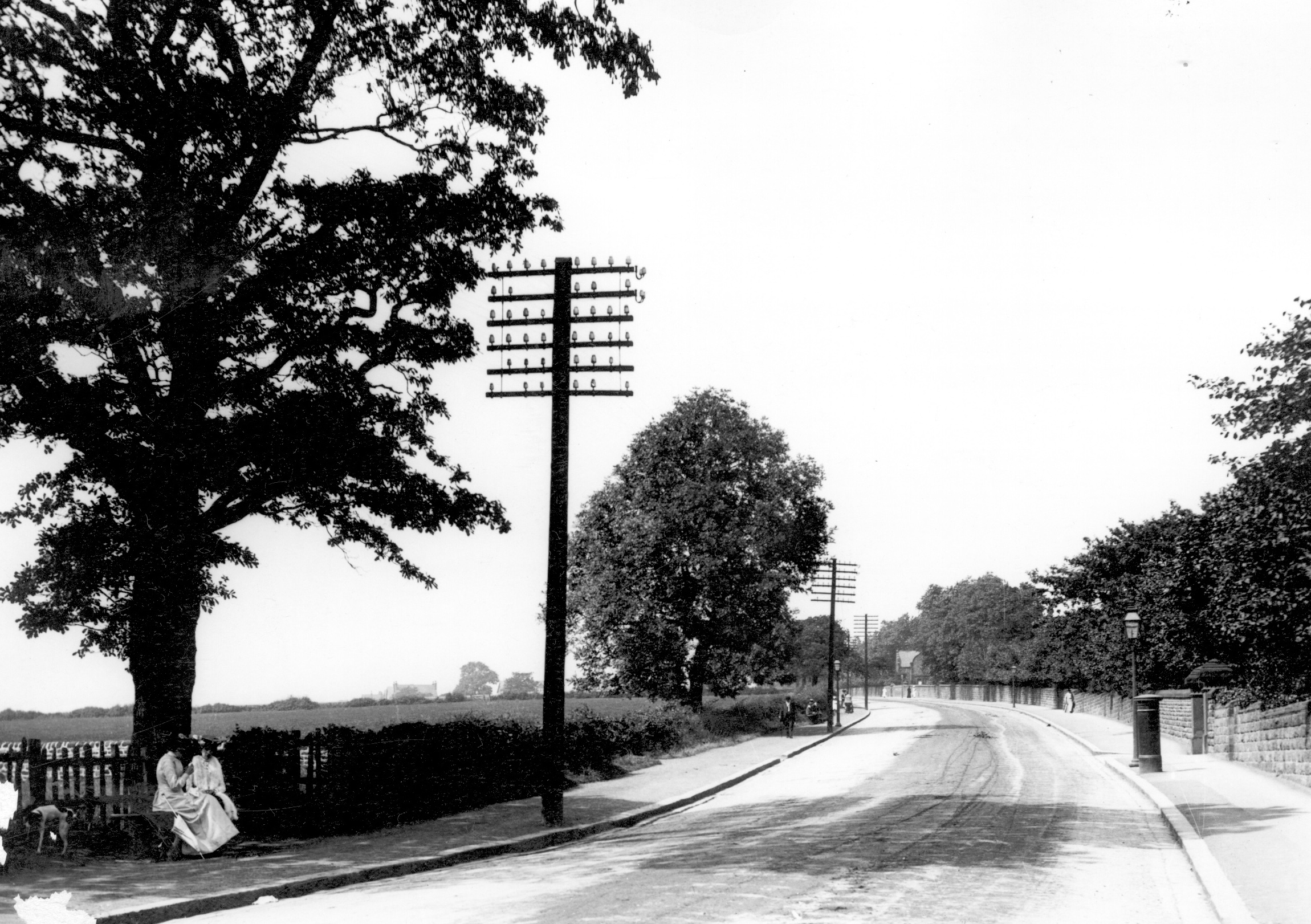

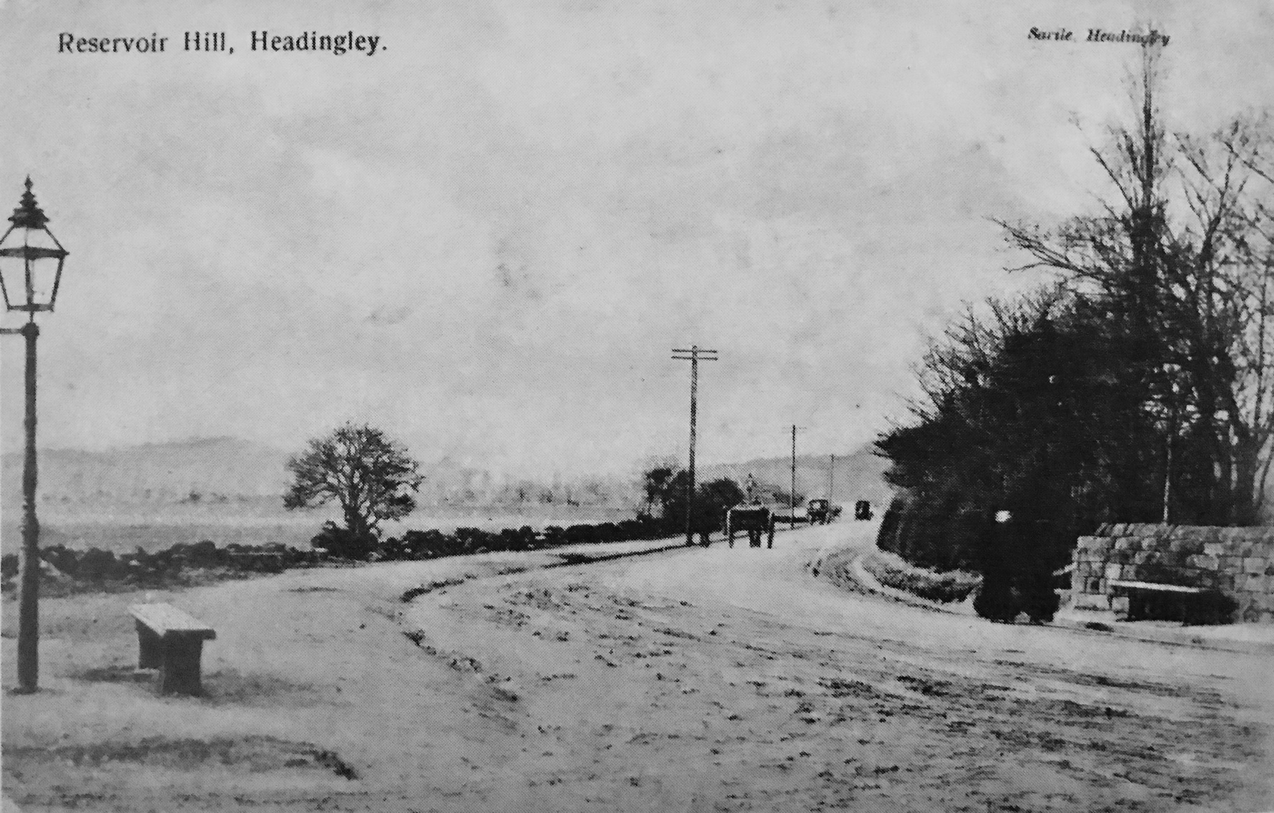
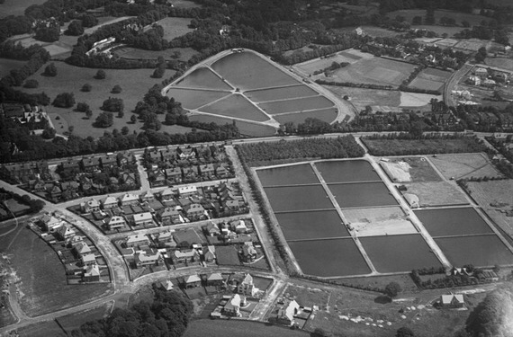
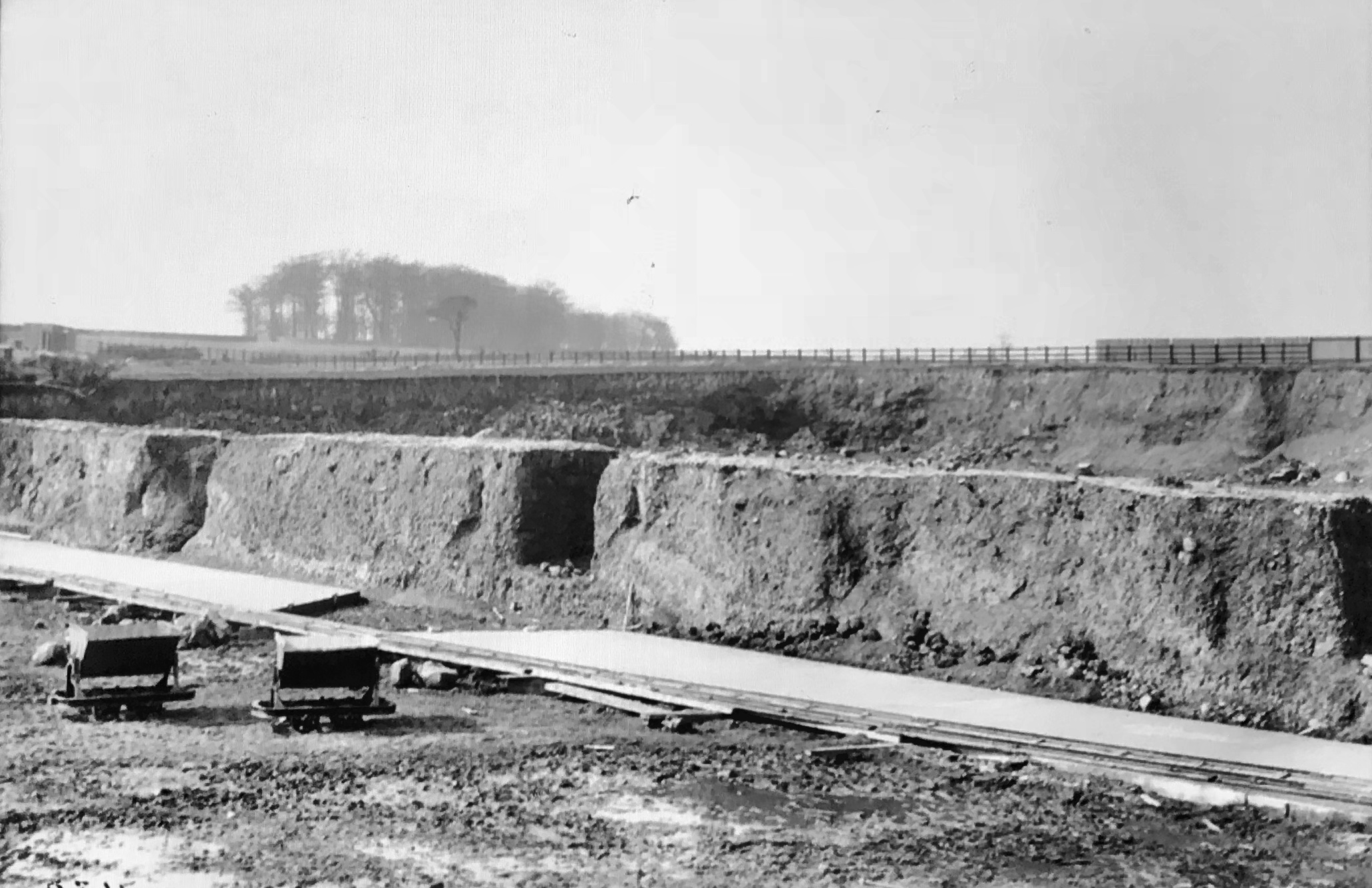

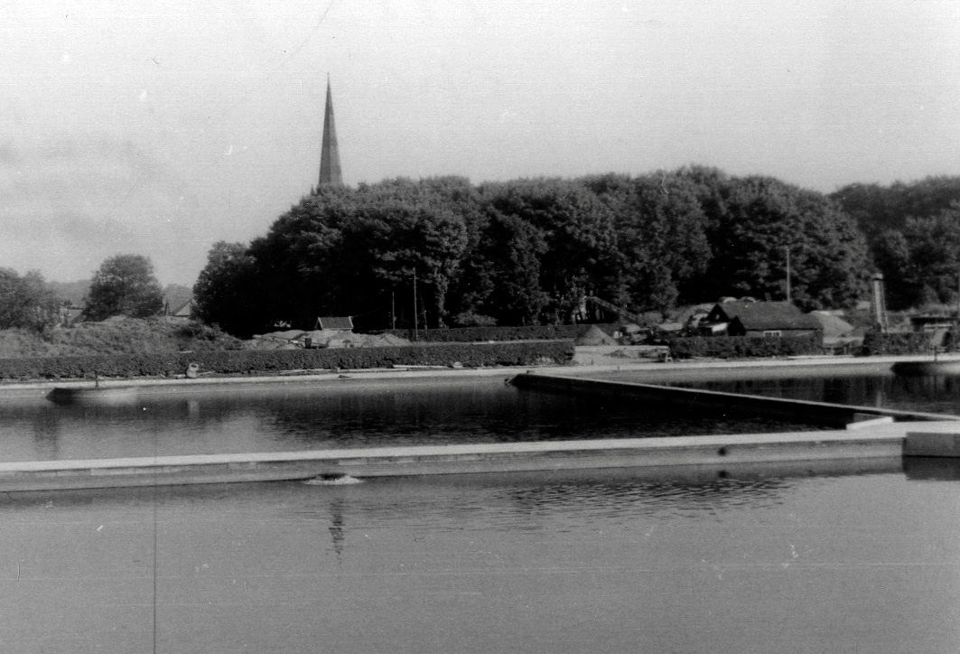
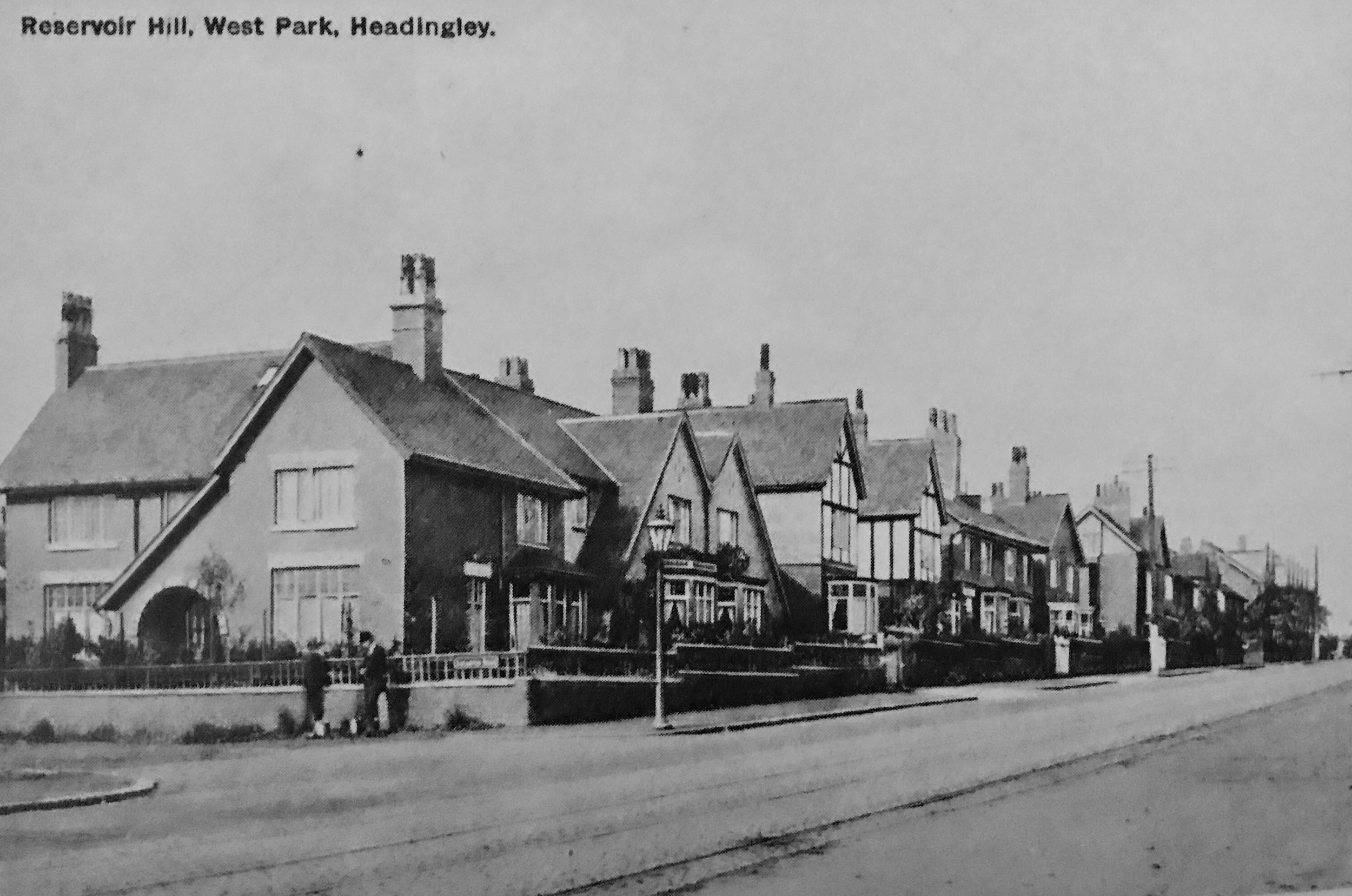
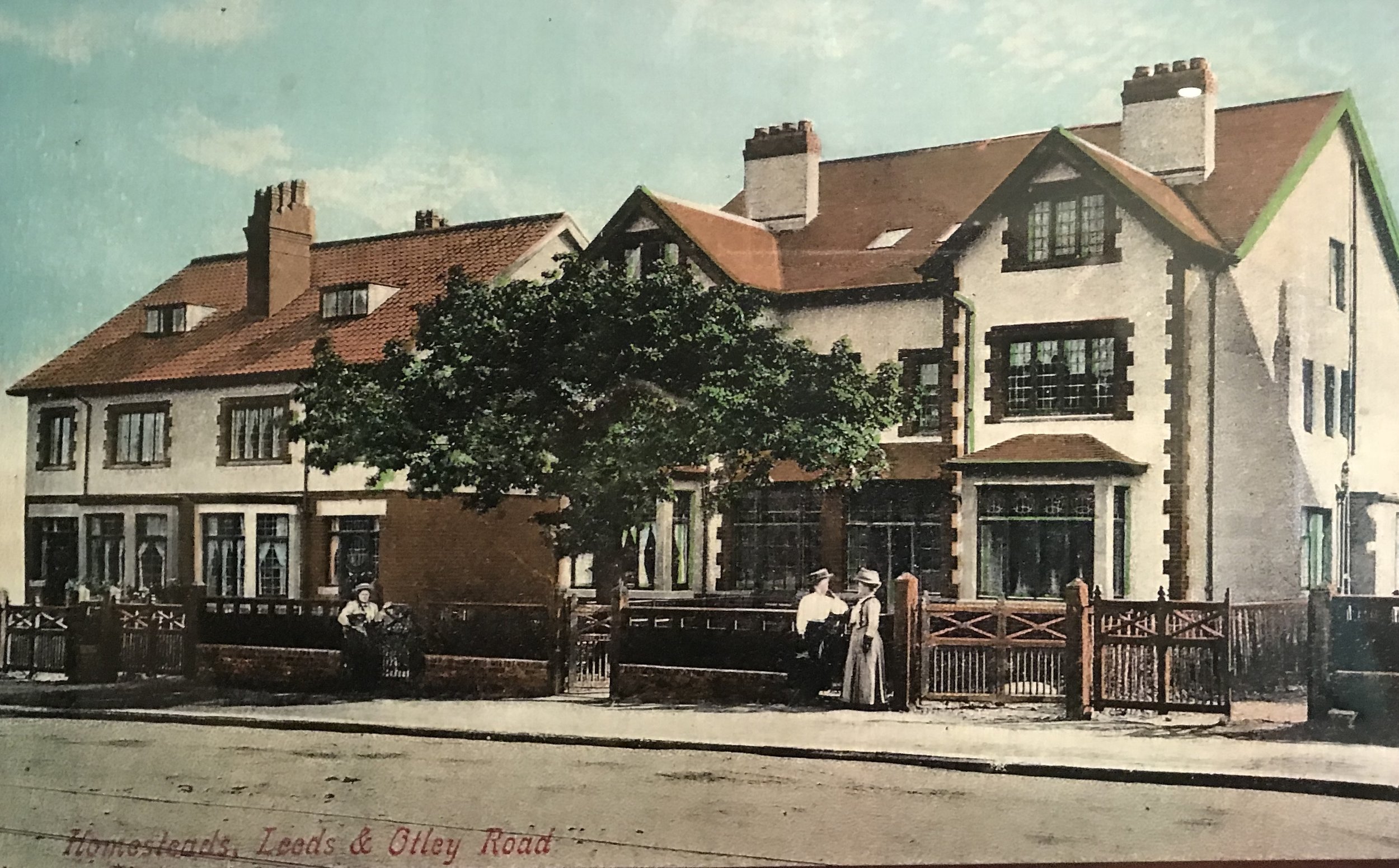
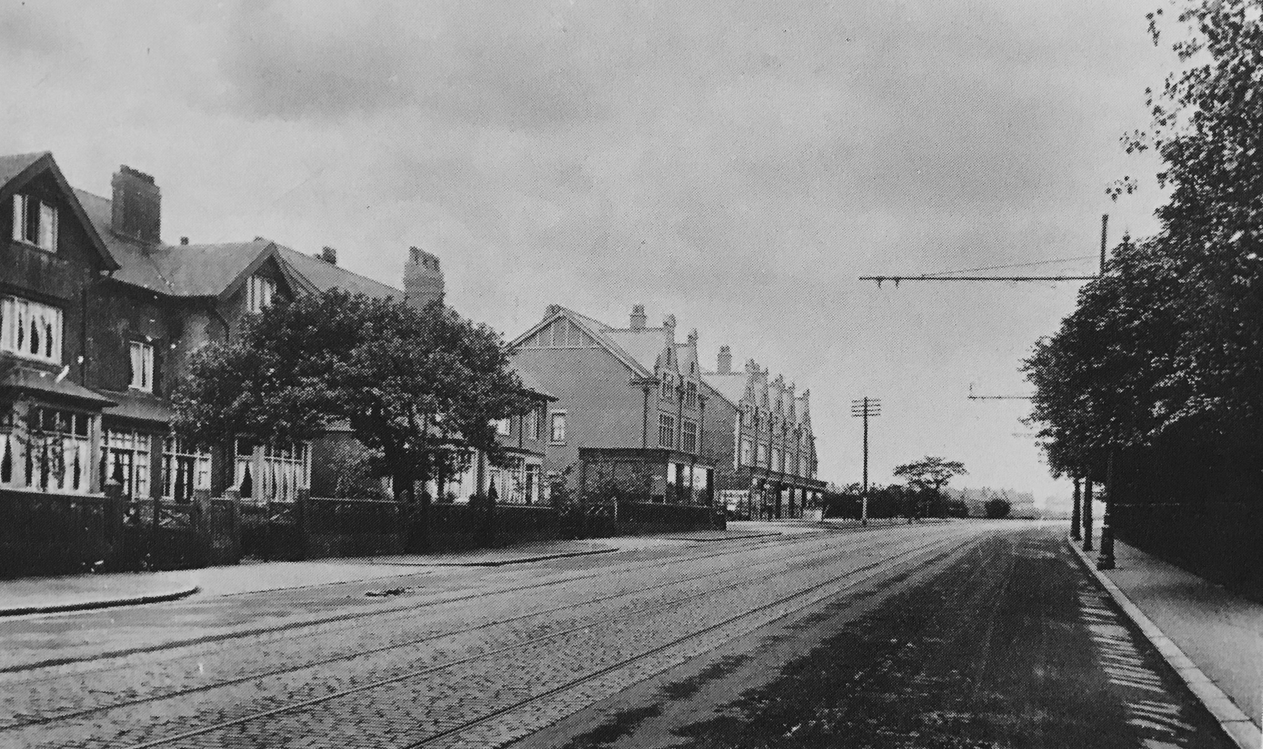
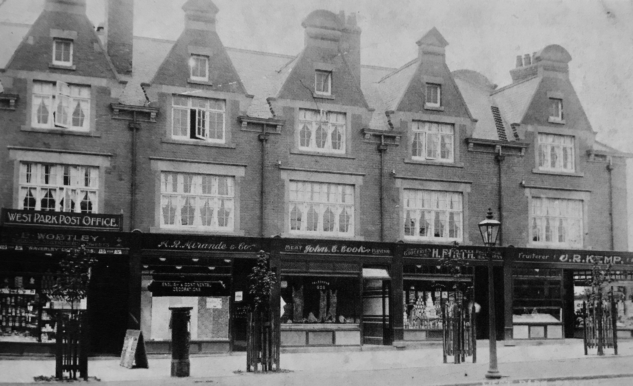
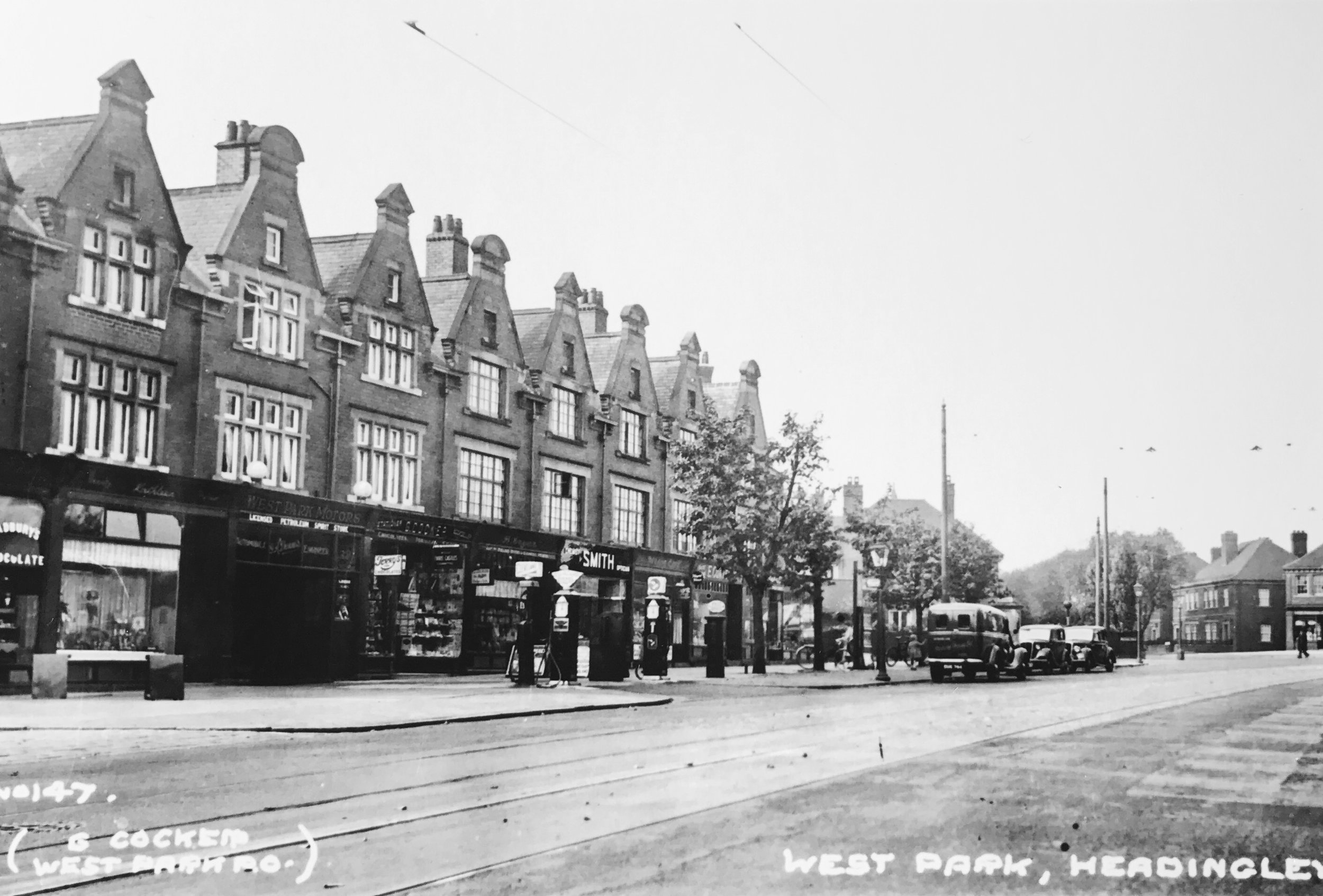
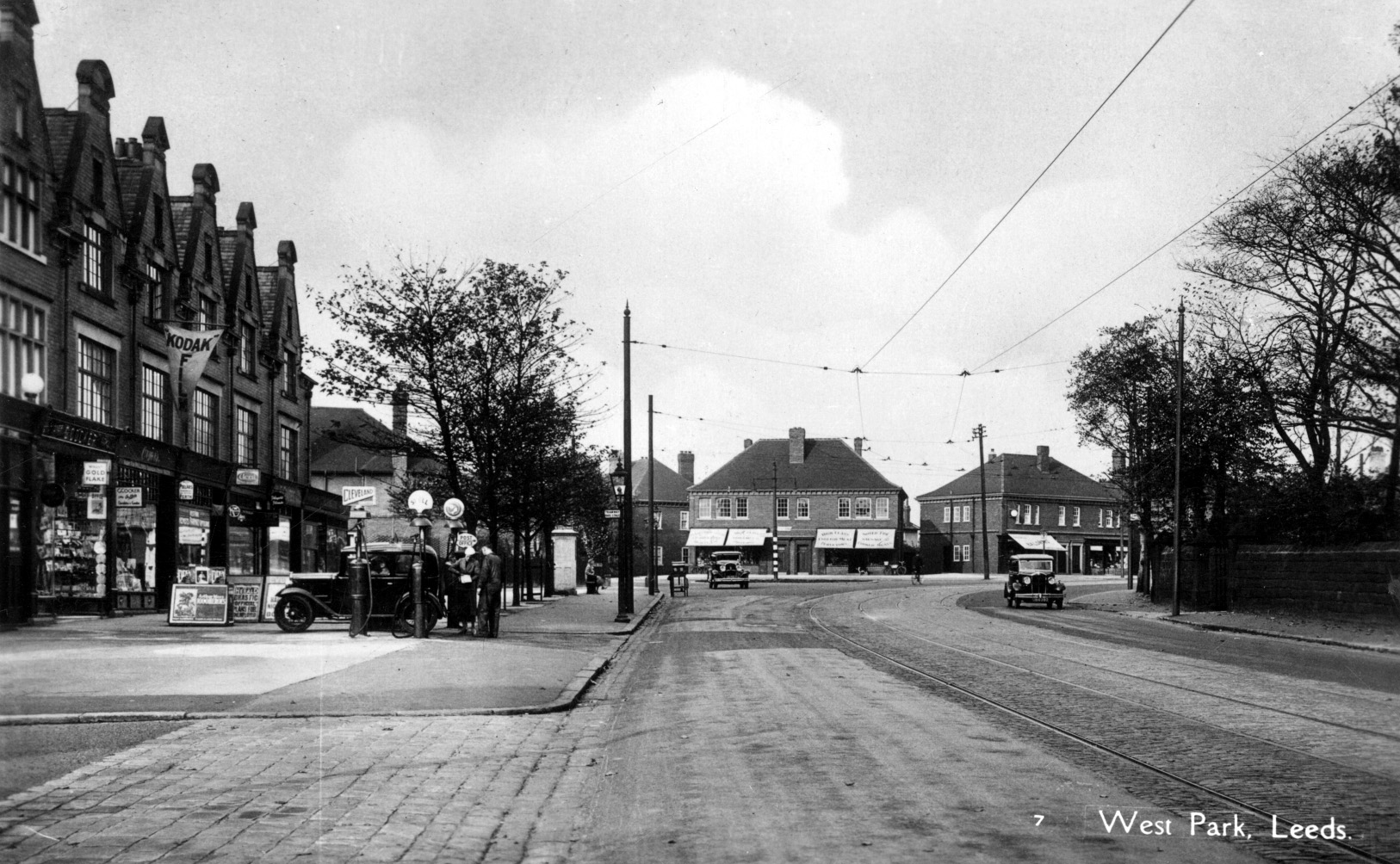
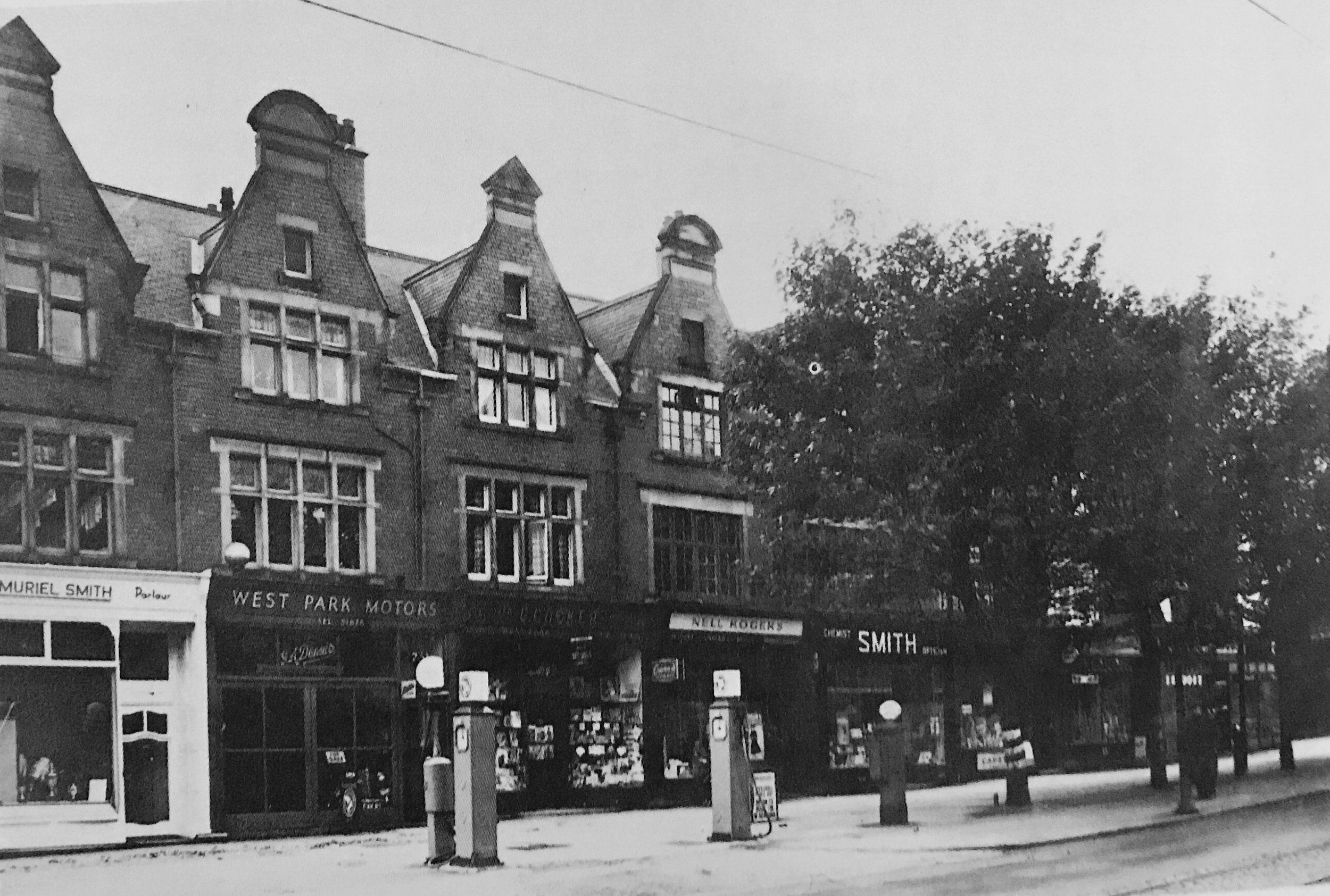
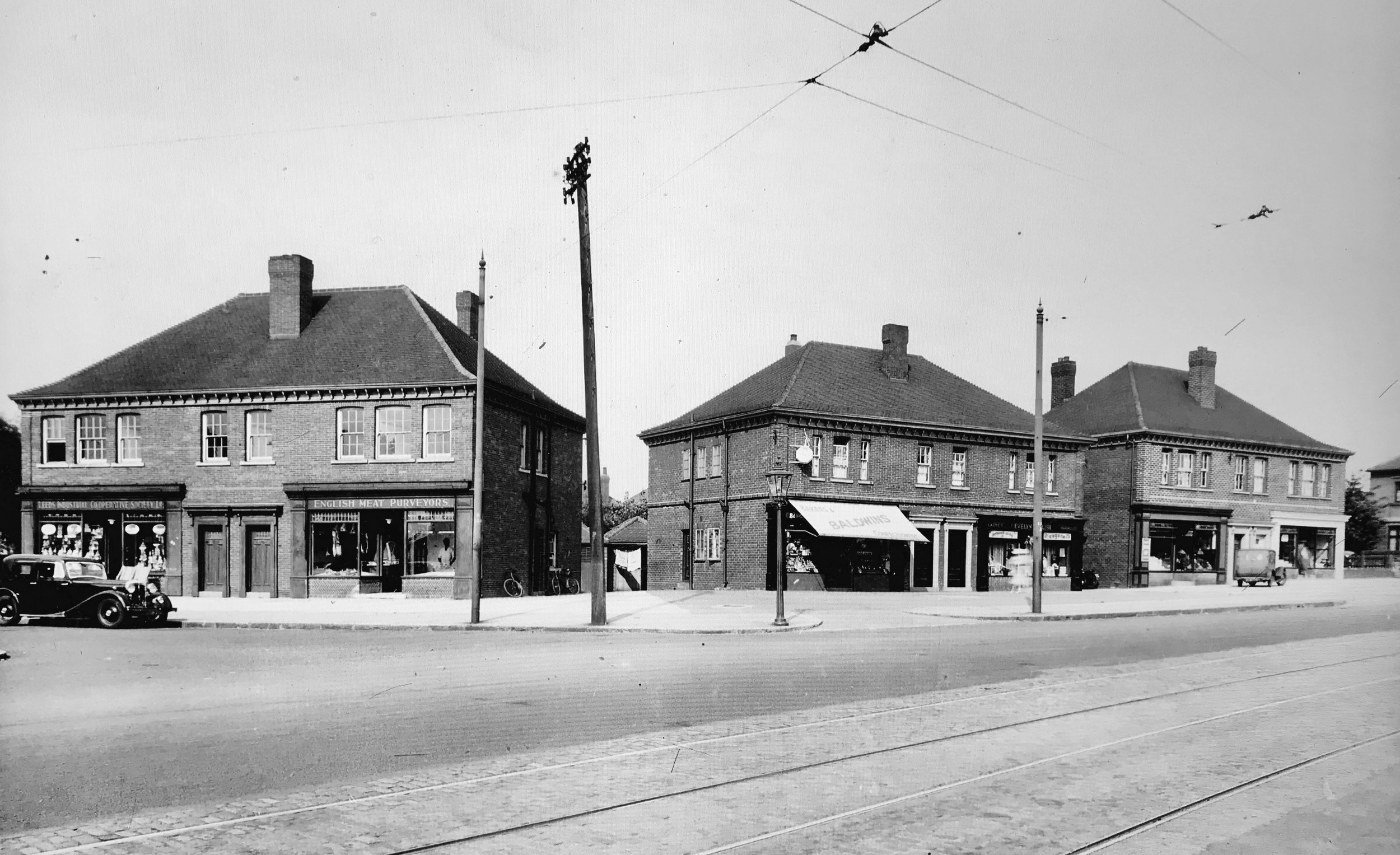
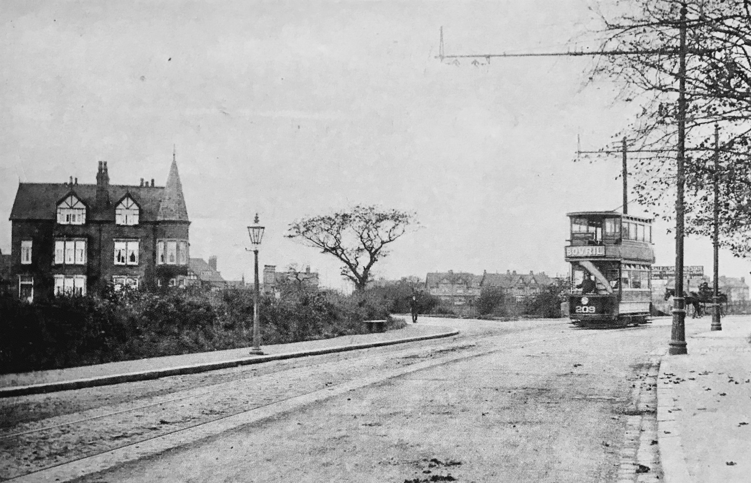
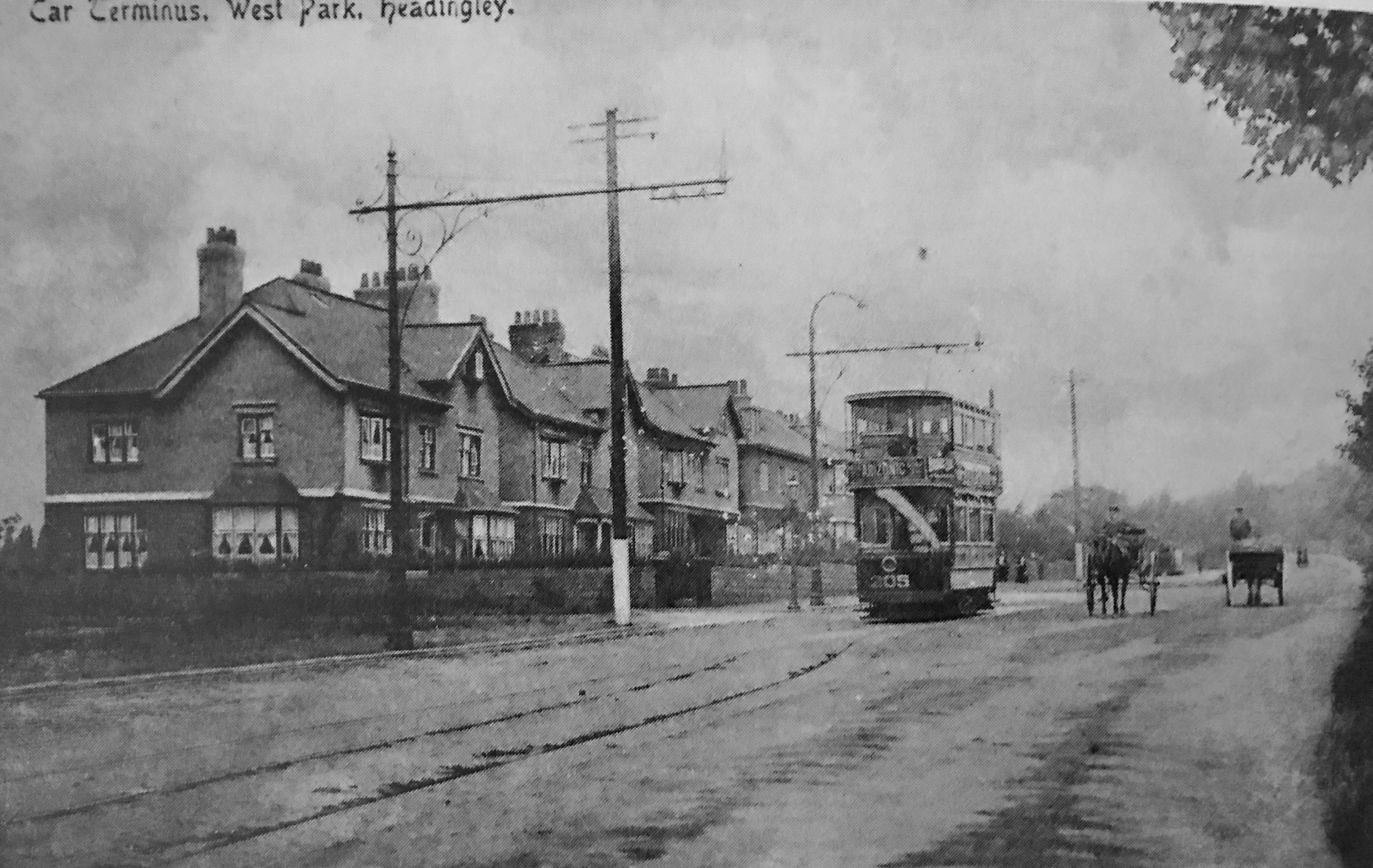
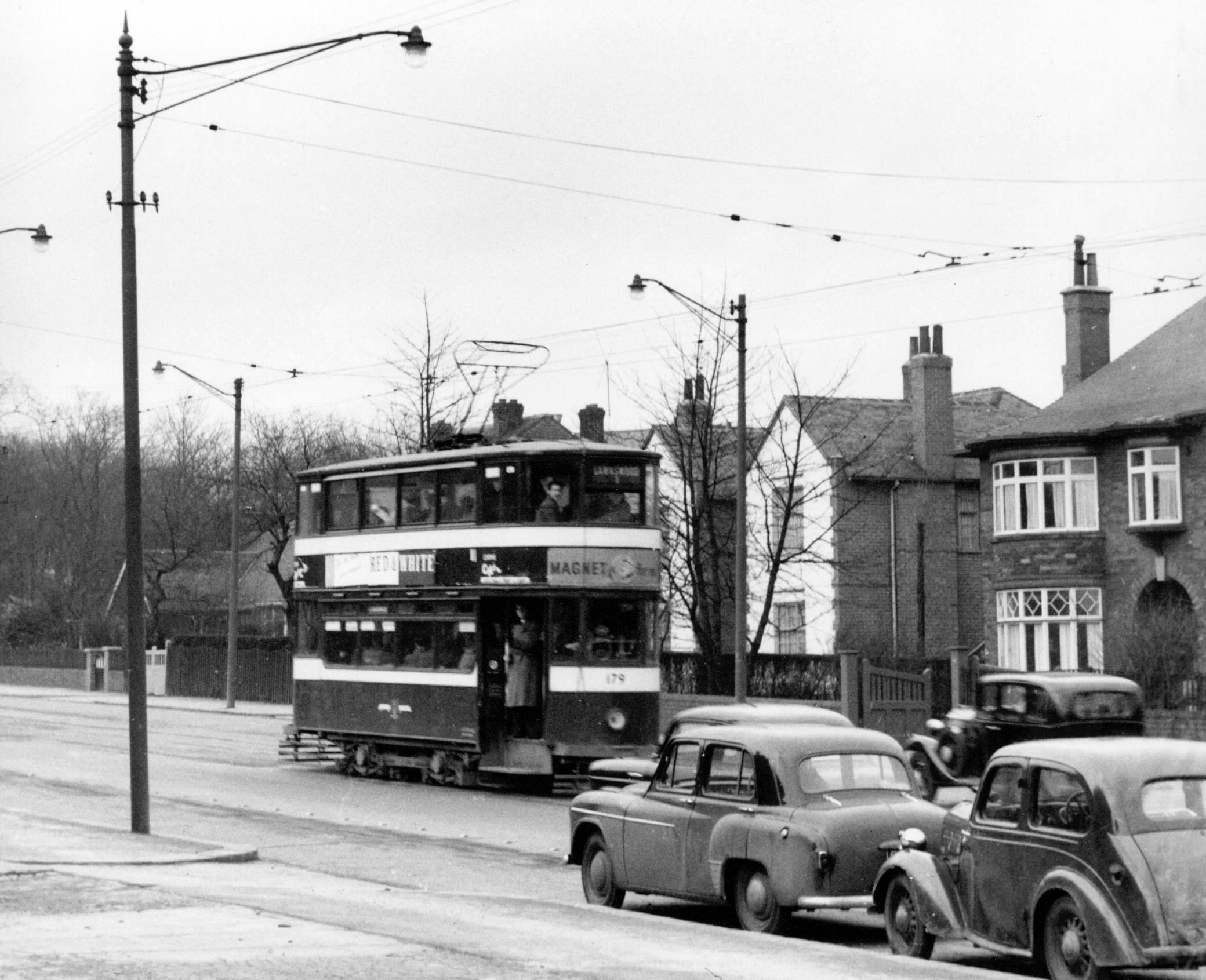


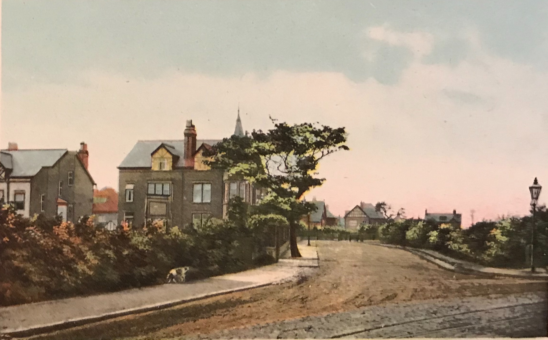


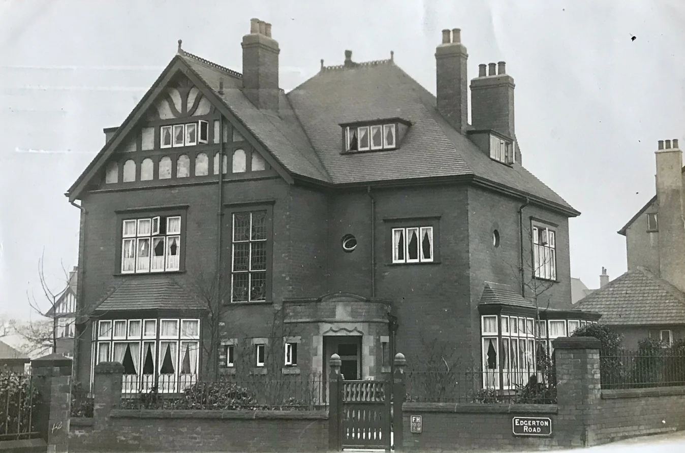
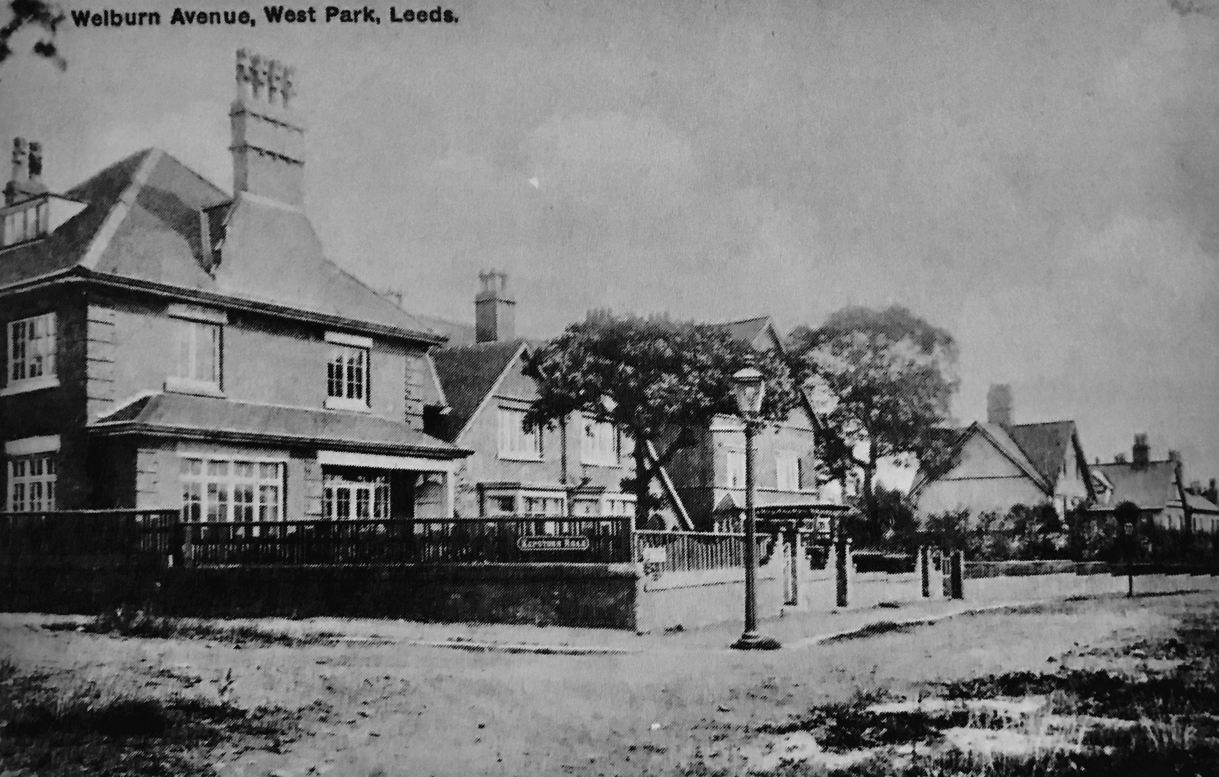
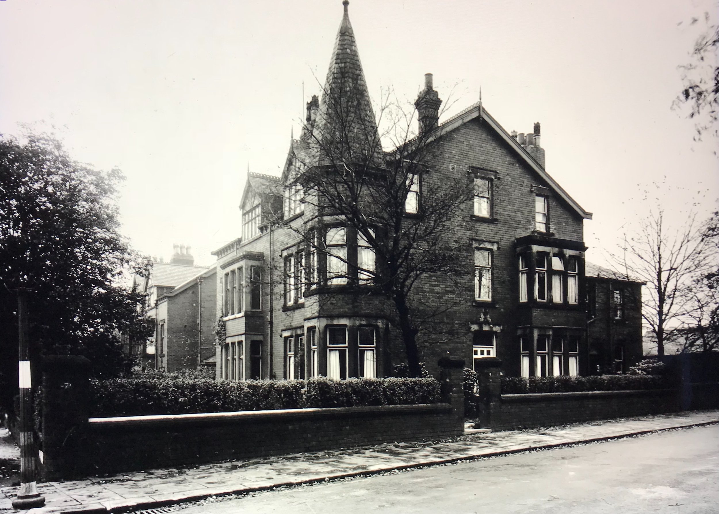
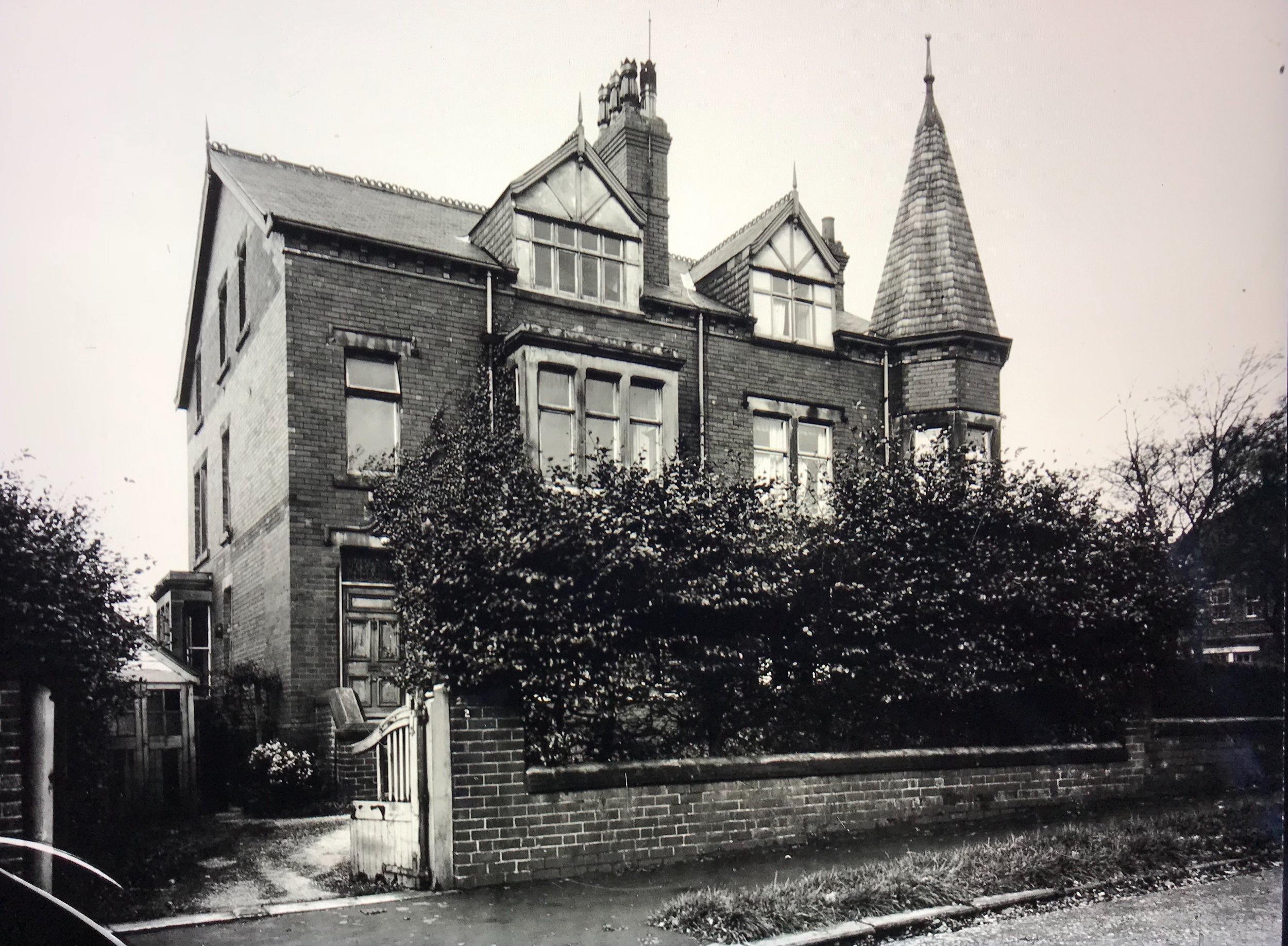
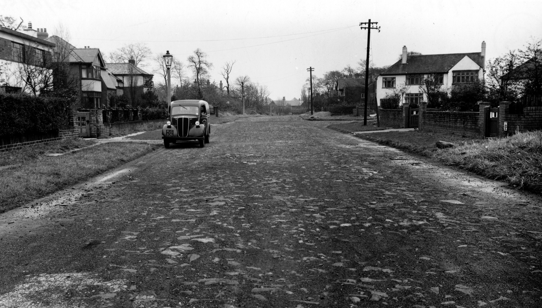
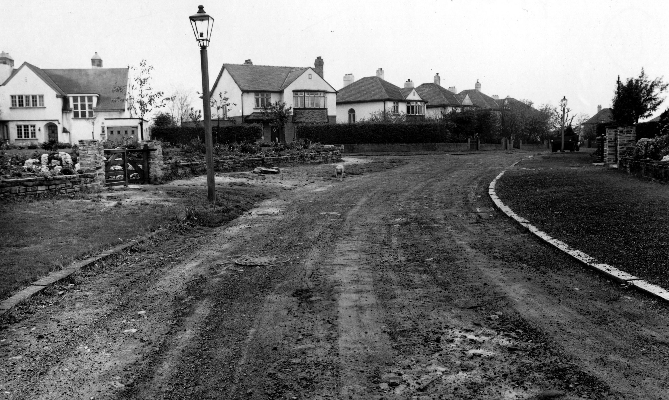
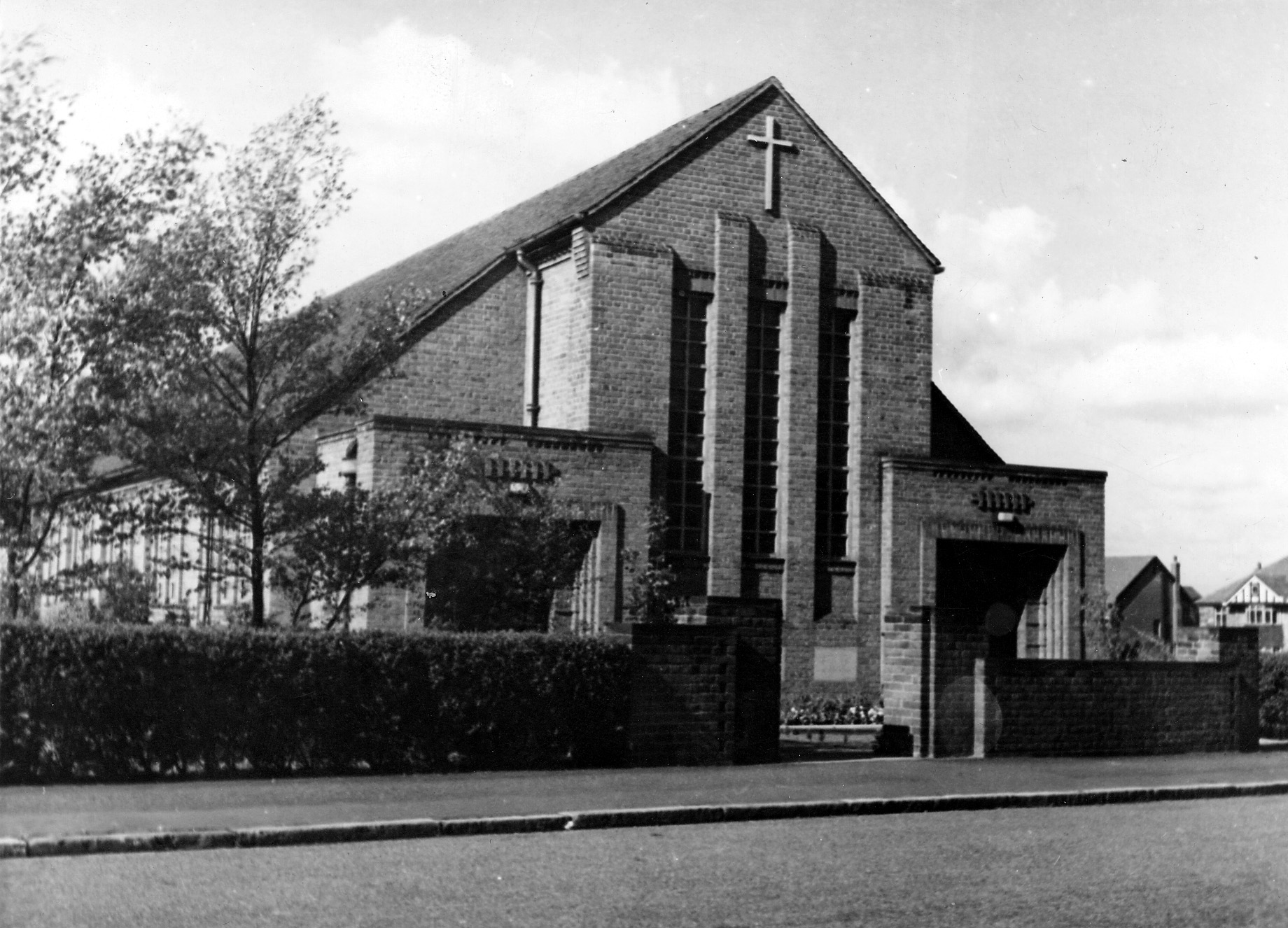
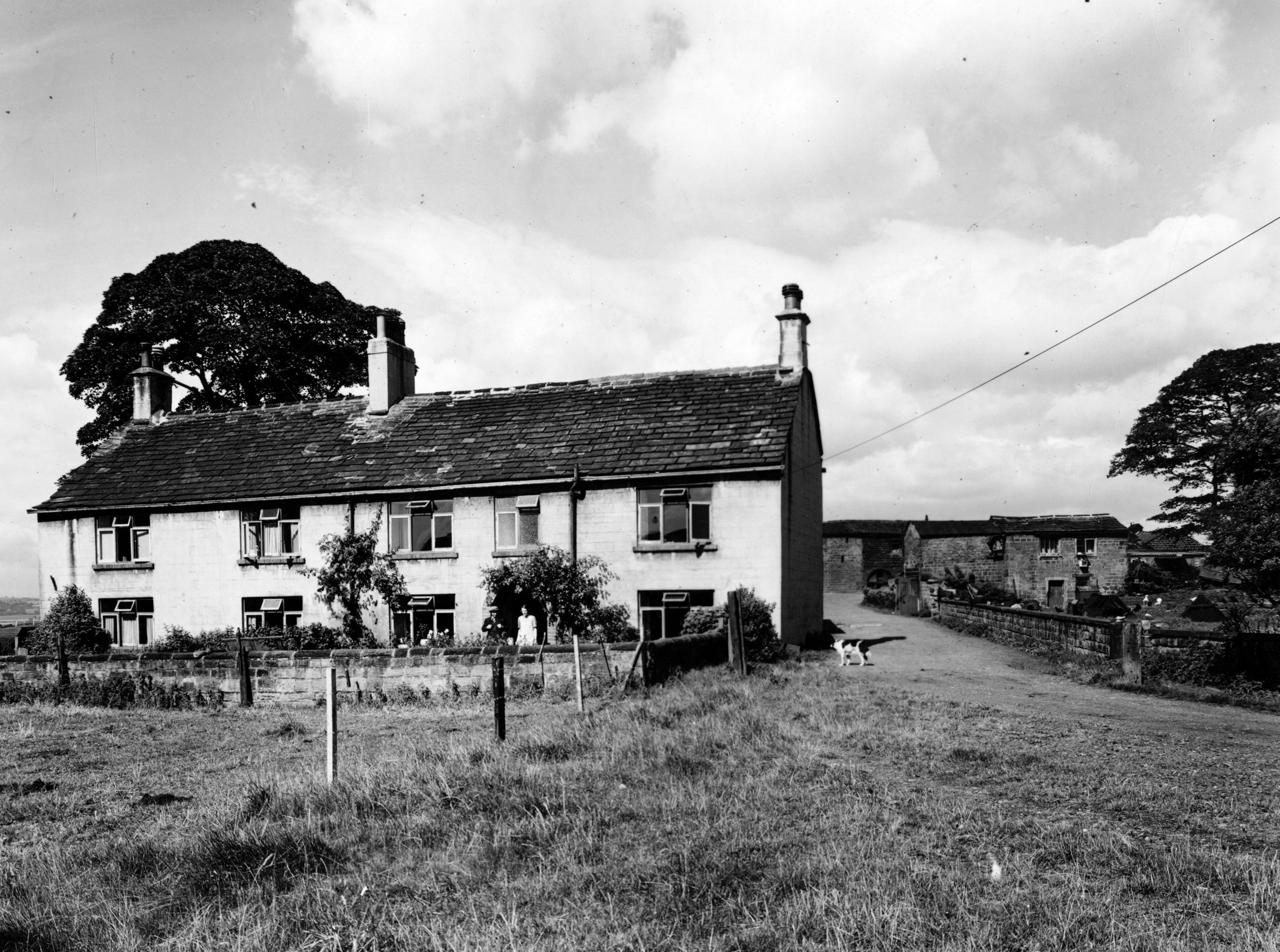
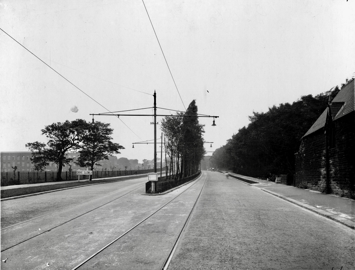
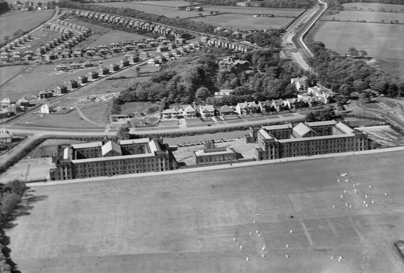


West Park was first developed in the Edwardian era on fields to the west of Otley Road, where the old turnpike to Otley originally turned west along Spen Road. It has expanded since further west, and to the east and south. For details of its development, see the Timeline. For a brief general description of the area, go to West Park. Read more about the history of West Park in David Hall, Far Headingley, Weetwood and West Park, Far Headingley Village Society (2000).
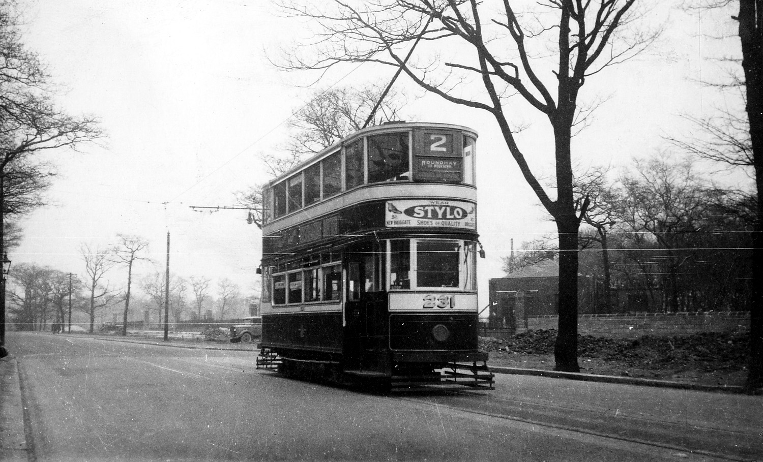
For photographs of the area now, go to the West Park Gallery.
Acknowledgements to David Hall for all his advice and support. Photographs by kind permission of David Hall, Ian Ballantine, Miss N.L. Cook, Leeds Library and Information Service, Leeds University Library Special Collections: Godfrey Bingley Collection, and Helen Pickering. Some of these photos are copyright and should not be reproduced without the owner's permission. Every effort has been made to contact all copyright owners. We would be pleased to rectify at the earliest opportunity any omissions and errors brought to our notice.
